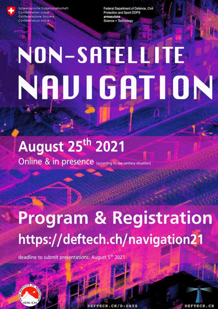
Non-Satellite Navigation
Who never heard of GPS, Galileo, Glonass or other GNSS systems in the world of navigation? Despite its wonderful services, satellite navigation presents numerous weaknesses and vulnerabilities which need to be overcome.
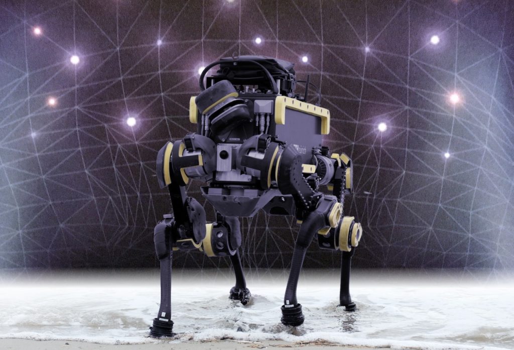
New and complementary approaches integrating vision, sensing, signals of opportunity, gravity, etc. are developed to support continuous air, ground but also underground and underwater navigation !
We would love to know more about them !
From drones to submarines, for humans or unmanned systems, join us to present your latest researches and developments for computing a reliable and precise latitude, longitude and height… anywhere, anytime!
Audience
Expect a good mix of participants between military, engineers, researchers and academics. It is a unique opportunity to learn the needs and requirements from the end-users while showing them what is or will be possible soon!
The majority of the participants will be interested more in the concepts, the vision, real-life results vs laboratory results, system requirements, etc rather than in detailed mathematics (but there are always experts in the room as well !)
Address
Feuerwerkerstrasse 39
CH-3602 Thun
Program
| 08:15-08:45 | General Assembly ION-CH | ION-CH Members only |
| 08:30-09:00 | Registration and Coffee | |
| 09:00-09:15 | Introduction | Quentin Ladetto and Markus Höpflinger, armasuisse W+T
Urs Wild, swisstopo |
| 09:15-09:30 | High Integrity GNSS/INS for Automated Driving | Rod Bryant (online) u-blox AG |
| 09:30-09:45 | Autonomous navigation using event based cameras | Davide Scaramuzza (online) Robotics and Perception Group, UZH & ETHZ |
| 09:45-10:00 | Vision-based robotic perception | Margarita Chli (online) Vision for Robotics Lab, ETHZ |
| 10:00-10:15 | Visual Mapping and Navigation | |
| 10:15-10:30 | Large-scale Visual Localization using 3D streetlevel imagery | Stephan Nebiker FHNW – Geomatik Institute |
| 10:30-11:00 | Coffee Break | |
| 11:00-11:15 | UWB-based system for UAV localisation in GNSS-denied environments | Jorge Peña Queralta (online) University of Turku |
| 11:15-11:30 | Secure Ranging: From UWB to 5G | Srdjan Capkun (online) System Security Group – ETHZ |
| 11:30-11:45 | Independent Testbed for Positioning, Navigation, and Timing in GNSS- denied/ degraded environments |
Matthias Reitenhardt (online) IABG |
| 11:45-12:00 | Scalable Absolute Visual Localisation for Arial Applications | Iordan Doytchinov Geodetic Engineering Laboratory, EPFL |
| 12:00-12:15 | Discussion – Questions | |
| 12:15-13:30 | Lunch Break – Visit of the Swiss Drone and Robotics Centre (SDRC) | |
| 13:30-13:45 | 5G Positioning | Fredrik Gunnarsson (online) Ericsson |
| 13:45-14:00 | Indoor Tracking for Military Operation in Urban Terrain (MOUT) Training | Rolf Gasser RUAG Simulation & Training |
| 14:00-14:15 | Expand the availability of precise global localization by sensor fusion of RTK GNSS and VIO |
Zhenzhong Su Fixposition AG |
| 14:15-14:30 | Outdoor local-area navigation with wireless IoT low-power signals | Luciano Sarperi ZHAW |
| 14:30-14:45 | Towards a basic and extendable passive localization framework | Katrin Solveig Lohan (online) Eastern Switzerland University of Applied Sciences |
| 14:45-15:00 | Discussion – Questions | |
| 15:00-15:15 | Coffee Break | |
| 15:15-15:30 | Ultra-precise localisation for emergency interventions | Johan Perul (online) Nav4You |
| 15:30-15:45 | Deep-Learning Pedestrian Dead Reckoning Frameworks | Itzik Klein (online) University of Haifa |
| 15:45-16:00 | A Multi-Radio Signals Indoor Positioning Fusion Solution using Attenuation and Time of Flight |
François Spies (online) Université de Franche-Comté |
| 16:00-16:15 | Robust particle filtering using machine learning for GPS free localisation | Lorenzo Bergamini CSEM |
| 16:15-16:30 | Discussion – Questions | |
| 16:30 | End of the Conference |
Jointly organised
by